We are staying in Bettendorf, on the eastern border of Iowa. Bettendorf is one of the Quad Cities on the banks of the Mississippi River, a region of five cities; Davenport and Bettendorf in southeastern Iowa, and Rock Island, Moline, and East Moline in northwestern Illinois. (Wikipedia)
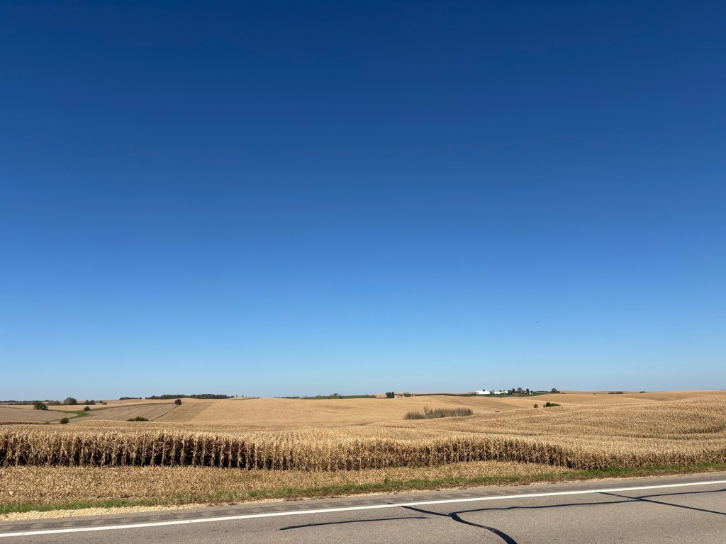
We decided that today was a beautiful day for an adventure. We headed north to Maquoketa Caves State Park. On the way, there’s corn and soy beans as far as the eye can see in all directions. There are rolling hills because it is part of the “Driftless” area, which I had never heard of.
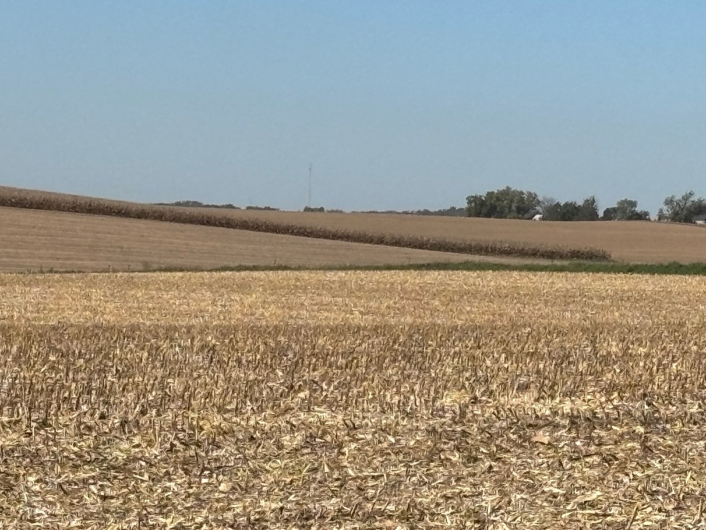
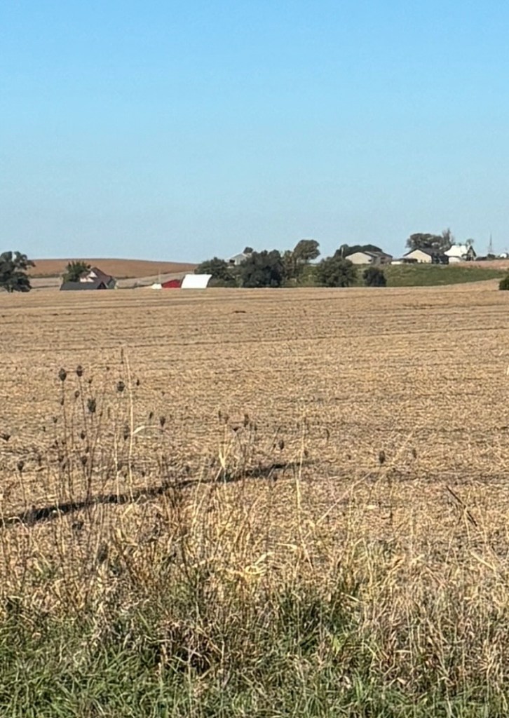
It is hard to get a sense of the expansiveness of this landscape through photos.. We decided to take a trip down some side roads where we saw more corn and soy beans and farms, only closer up. That’s about all I am going to say about corn. Look out for a possible guest blog post from one of my avid readers who loves to discuss corn production. If you know, you know….
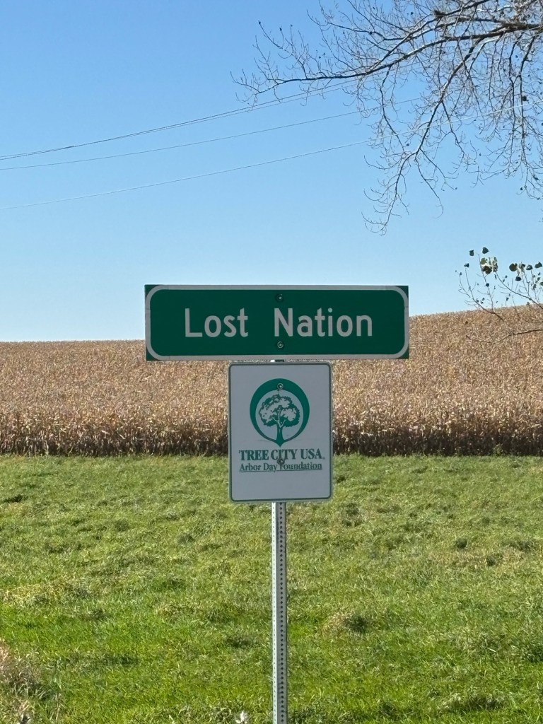
We saw this sign on the highway, which peaked our interest.
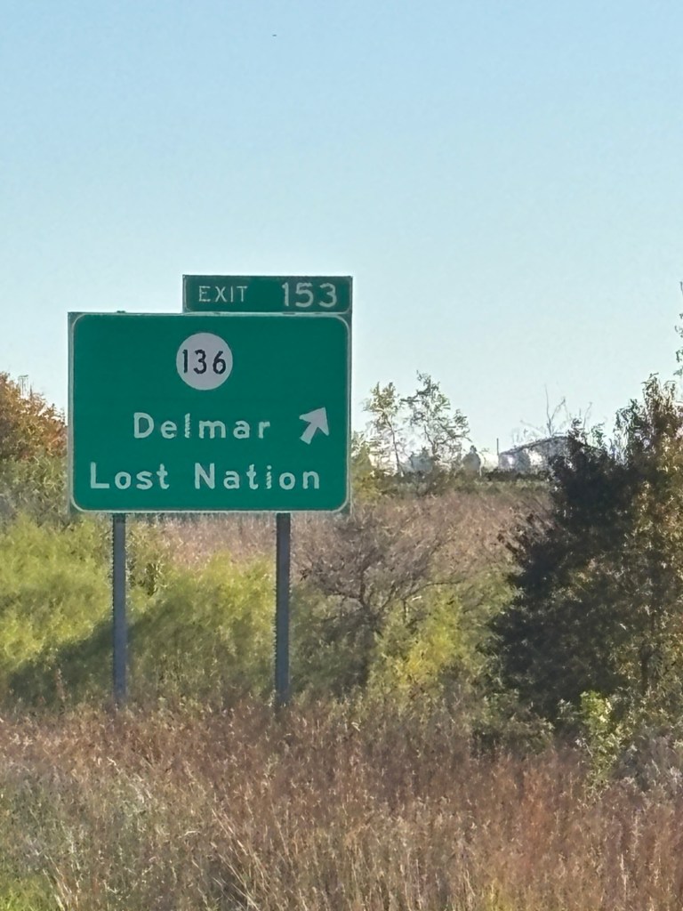
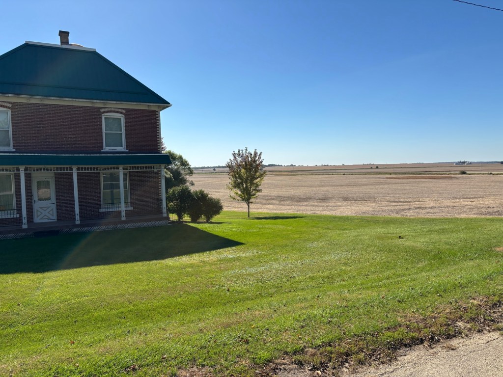
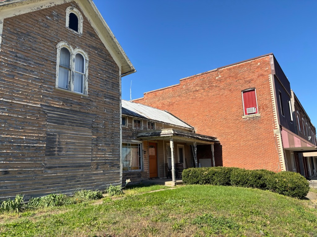
Lost Nation? What is going on there? Turns out it is a small, sleepy farming community (pop 434) about 10 miles off the highway. We went to investigate.
No one knows for sure why it is named Lost Nation. It was called that for 50 years before the town was incorporated. When the Sabula, Ackley and Dakota railroad built a train station there in 1871, they named it Lost Nation because the wider countryside already carried that moniker. Older settlers later fought against changing the name, believing a romantic and distinct title was better than a generic town name Here is a photo montage of Lost Nation:
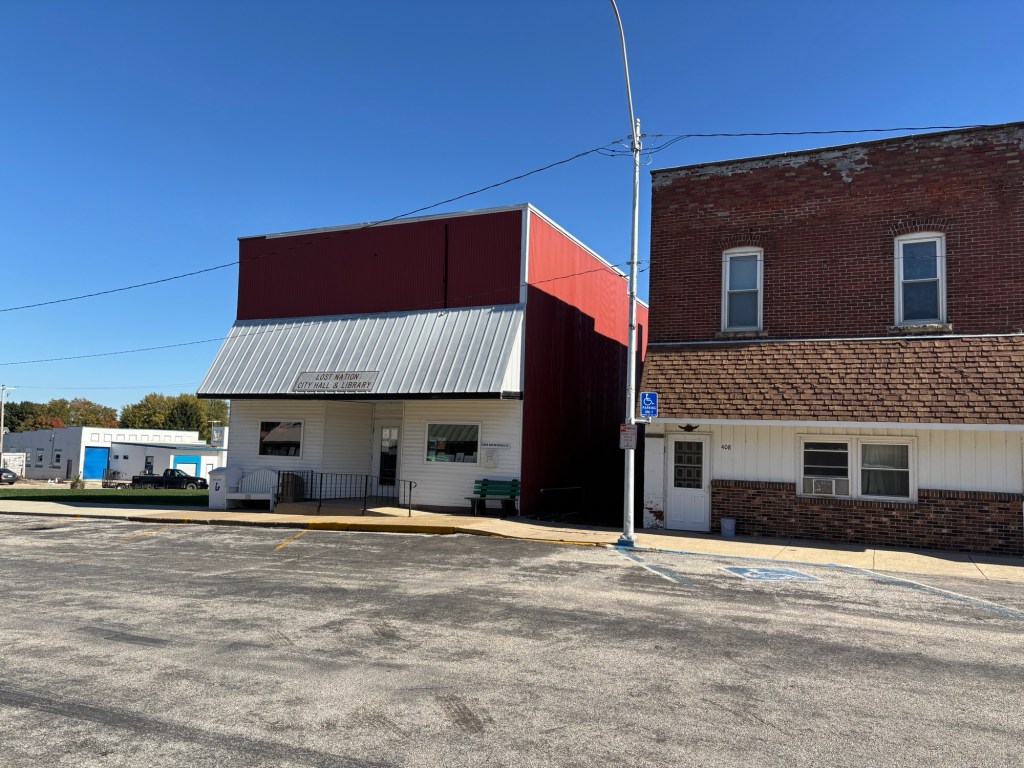
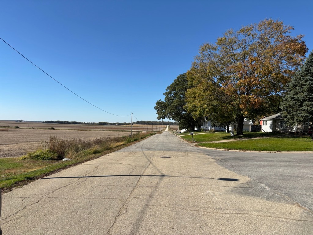
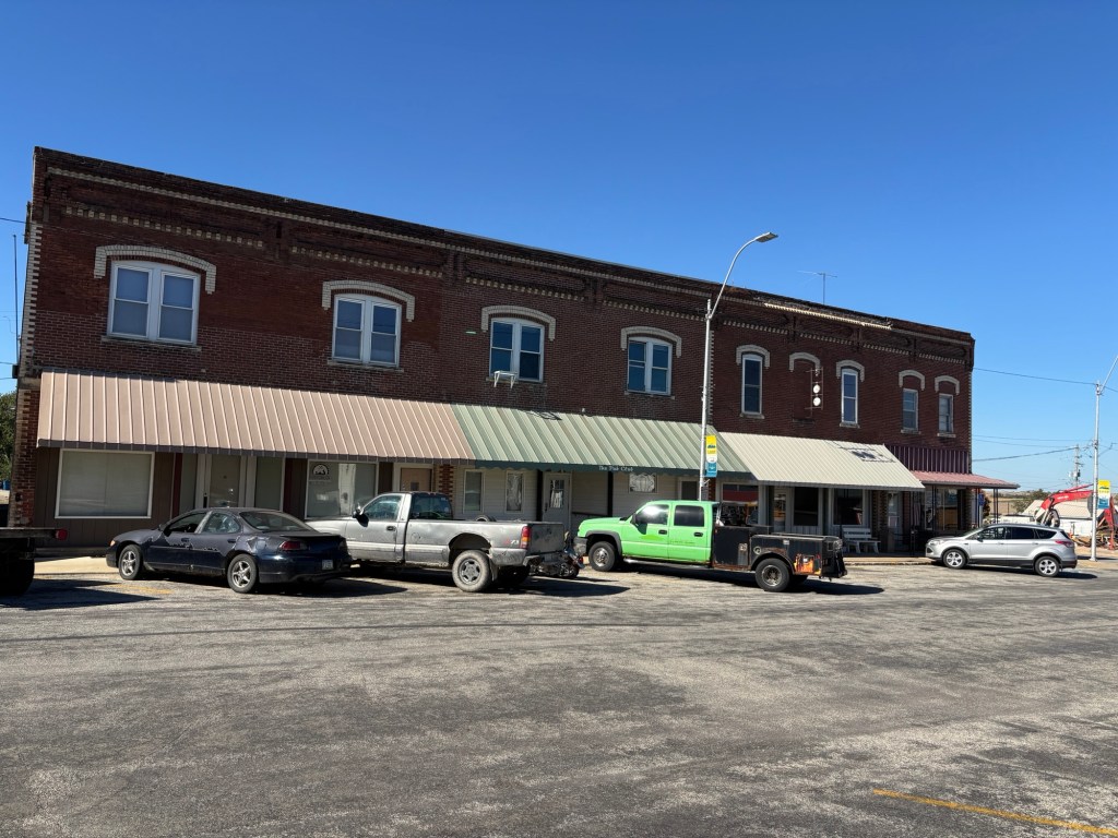
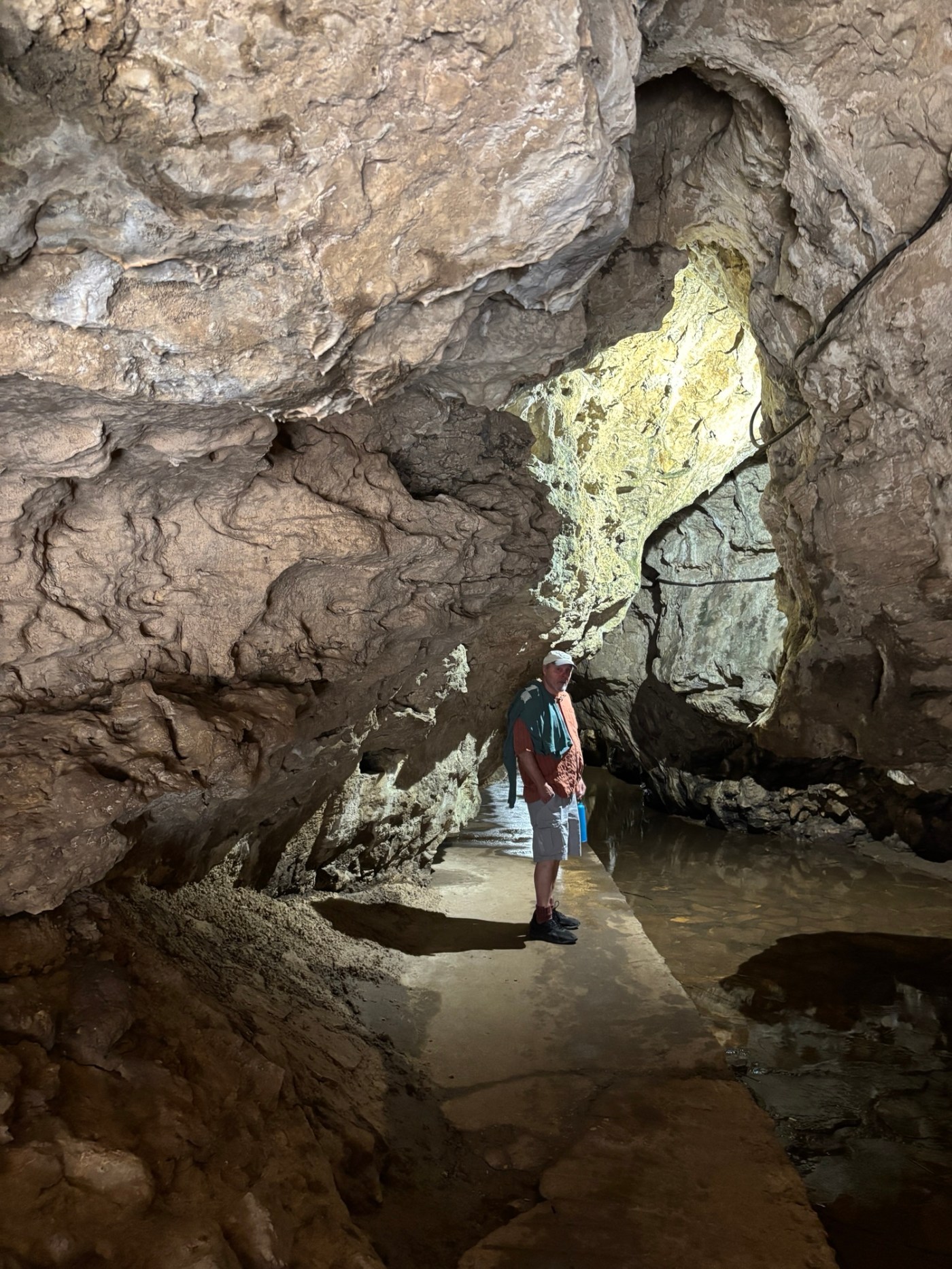
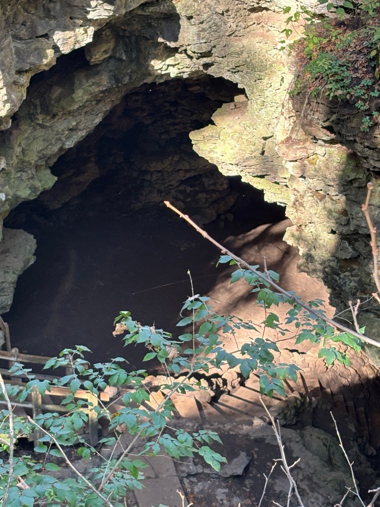
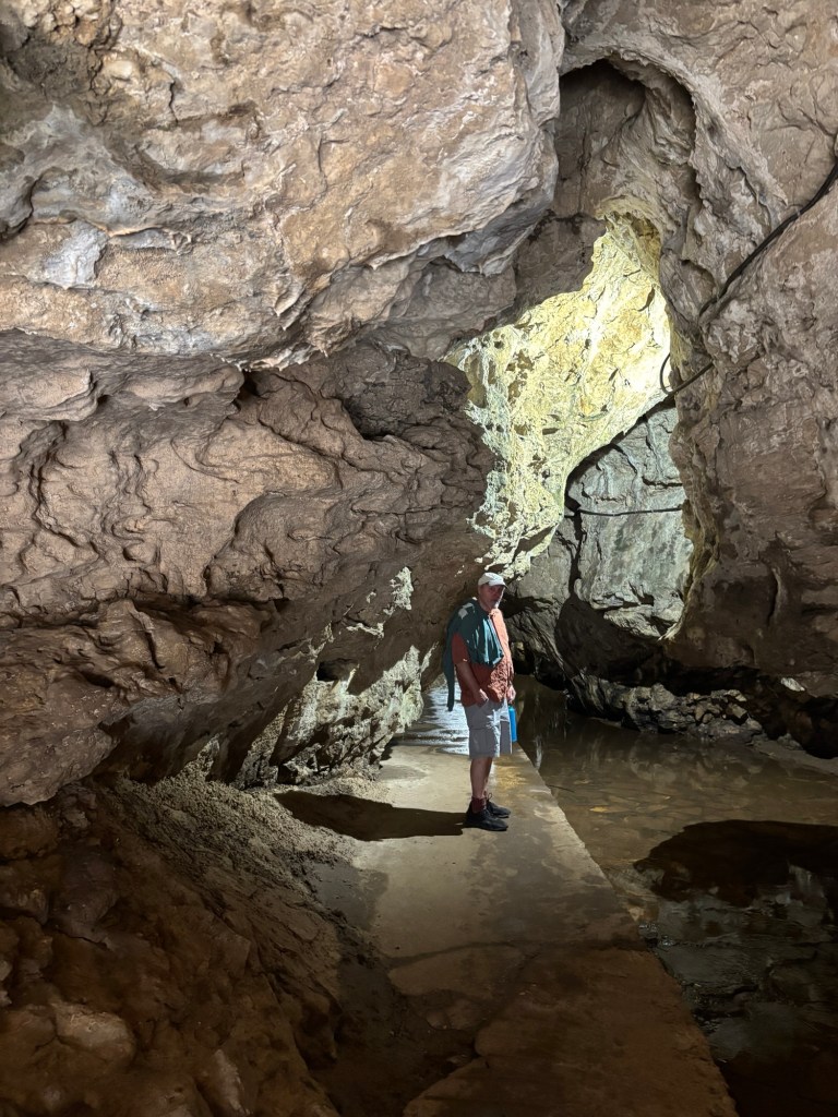
We continued up the highway to Maquoketa Caves State Park. These caves are located on a six mile trail in a wooded area. There is a sense of wonder and curiosity when coming upon the entrance of a cave. Some of them were just small opening you had to crawl into, which I would have done in my younger days. The Dance Hall cave was cavernous.
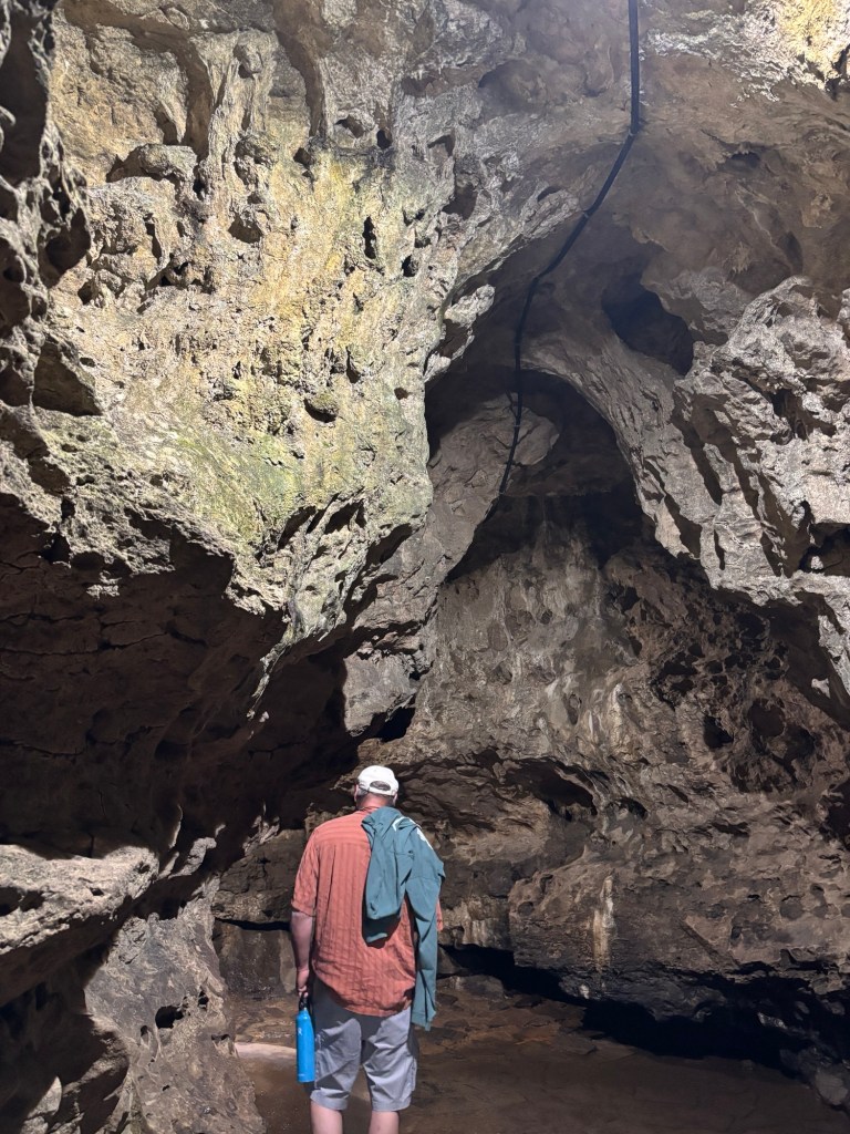
It was a good day. On to Indiana tomorrow.


Leave a Reply